


Hierarchical Approach to Urban Planning

A settlement is a place where a group of people cohabits, where few or no people have lived before. It is the process of people starting to live in a certain place. There are two broad categories in which a settlement can be classified, rural and urban.
Primary activities such as agriculture predominate in rural areas, while secondary and tertiary activities dominate the urban areas.
Any area requires planning to develop and grow prosperously. Urban planning can be classified into various types varying from national to the regional level.
Levels of Planning
- National Planning – Planning is done at the national level for generally five years.
- Regional Planning – Planning is done for agricultural, industrial, and other regions.
- Country Planning – Planning for areas surrounding the town.
- Local Planning – Planning for town or city
- Area Planning
Types of Planning
The Indian Urban and Regional Planning System can be divided into two categories
- Core Area Planning
- Perspective Plan
- Regional Plan
- Development Plan
- Local Area Plan
- Specific and Investment Planning
- Special Purpose Plan
- Annual Plan
Hierarchy in Planning
Scale of Planning
- Perspective Plan – 2.5 lakh to 50,000
- Regional Plan – 50,000 to 10,000
- Development Plan – 10,000 to 7000
- Local Area Plan – 7000 to 1000
Approval Bodies
- Perspective Plan – State Government
- Regional Plan – State government and regional authority
- Development Plan, Special Purpose Plan, and Local Area Plan – Municipal corporation and Development plan authority
- Annual Plan – Municipal Corporation and Development Plan authority
Getting Into the Details
Perspective Plan
The Perspective Plan is a blueprint and policy document stating the targets and the objectives for the long-run growth of the region, generally for 20 years. It is not just like any other plan; it rather helps to attain objectives and targets set for the development. It is generally divided into certain smaller plans like five-year or annual plans.
Regional Plan
The Regional plans are based on sustainability and optimization of resources. The efficient placement of infrastructure, land-use, and settlement growth across a larger portion of land than an individual town or city. Planning for any region, rural or urban, is called regional planning. It is a sub-category of urban planning as it deals with designing and infrastructure across the region for over a term of 20 years. The planning regions can be further classified into three parts –
Administrative Regions
Regions such as District or Metropolitan Region as per the 74th Constitutional Amendment Act
Investment Regions
Regions such as new investment manufacturing zones, industrial and freight corridors, etc.
Special Regions
Regions that are sensitive in terms of environment/socio-economic and political aspects.
Structural Plan
The Structural Plan is the one that singles out attention to certain aspects of the environment generally the land use, the main movement systems, and the location of buildings. This type of plan aims to influence certain key vocational decisions.
Development or Master or Comprehensive Plan
The Development Plan is a statutory instrument for regulating and guiding development. It is meant for a long-range vision document that seeks to combine in one document all aspects of the city’s development and general welfare. It is aimed to plan how the city should evolve over a period of 20 years and provide a policy foundation for the same.
A City Development Plan (CDP) means a plan for the development or redevelopment or improvement of the region within the jurisdiction of the planning authority with a focus on financing and project implementation. CDPs should ideally be synchronized with the Development or Master Plan.
The issues which Development Plan identifies are
- Suitable location for housing, commercial, and mixed-use development
- Opportunities to expand or improve the open areas, recreational spaces, and civic facilities
- Environmental, historic, and cultural resources need conservation
- Places where the city should increase density, use redevelopment
- Strategies for improving economic development
- Strategies for marking major circulation patterns to solve congestion and improve transit services
- Zone and subzone divisions
- Development of codes, policies, and norms
Zonal Development Plan
The Zonal Development Plan is the plan for the zone or division of the city or town. Prepared within the framework of the Master Plan, it is a detailed plan for the development of the zone. It includes a proposal for various land use, parks and open spaces, roads, and streets, services and public utilities, community facilities, etc. The Zonal Development Plan can be further divided into sub-zonal plans.
Local Area Plans (LAPs)
The Local Area Plans are the plans set out to show how a specific area will regenerate and what planning applications in the area will need to do. The Local Area Plans are essential while making planning decisions for any area, as they are a part of the Development Plan. The Local Area Plan includes land-use zoning and density, public open space, conservation of natural and built heritage, provision of infrastructure, etc. The Local Area Plan can be further classified into sector plans and neighborhood plans, also known as Area Action Plans (AAPs).
In Summary
These planning aim to make the best use of land and other resources by assessing the present and the future needs and matching it with the supply. They into consideration of the economic, social, and environmental conditions by selecting and adopting the best options for the future development of the area.

 K
K Unlocking the Power of Feng Shui in Real Estate: A Guide to Harmonizing Your Home
There are two broad categories in which a settlement can be classified, rural and urban. Primary activities such as agriculture... K
K What is External Development Charges (EDC)?
There are two broad categories in which a settlement can be classified, rural and urban. Primary activities such as agriculture... K
K Importance of Highway for Indian Real Estate Sector
There are two broad categories in which a settlement can be classified, rural and urban. Primary activities such as agriculture... K
K Ways to Manage Traffic in Metro City
There are two broad categories in which a settlement can be classified, rural and urban. Primary activities such as agriculture...
What is Travel Demand Modeling?
There are two broad categories in which a settlement can be classified, rural and urban. Primary activities such as agriculture...
What are CPM and PERT?
There are two broad categories in which a settlement can be classified, rural and urban. Primary activities such as agriculture...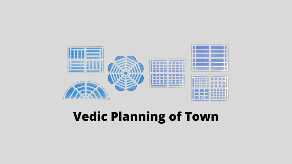
Overview of Vedic Town Planning
There are two broad categories in which a settlement can be classified, rural and urban. Primary activities such as agriculture...